This is in the middle of someone’s living room
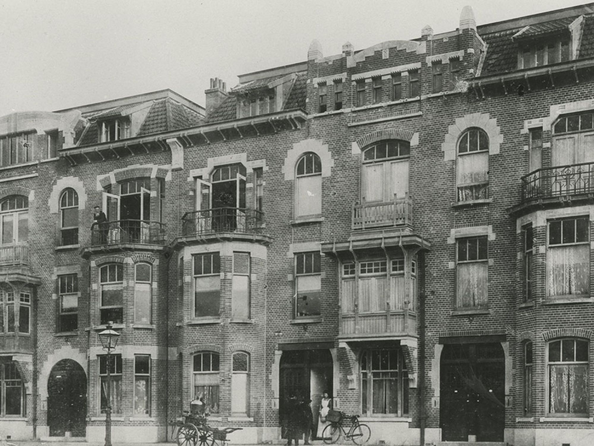
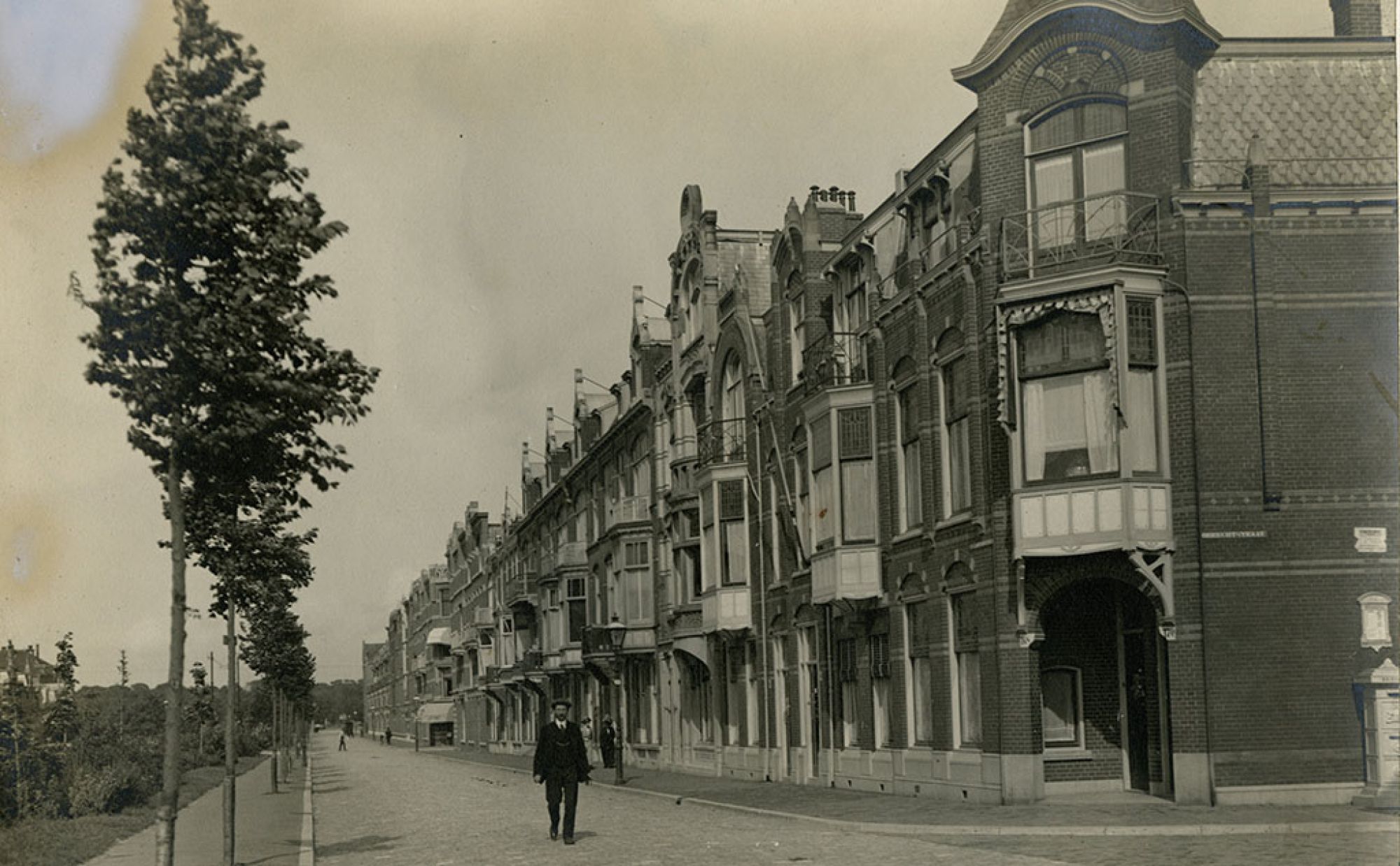
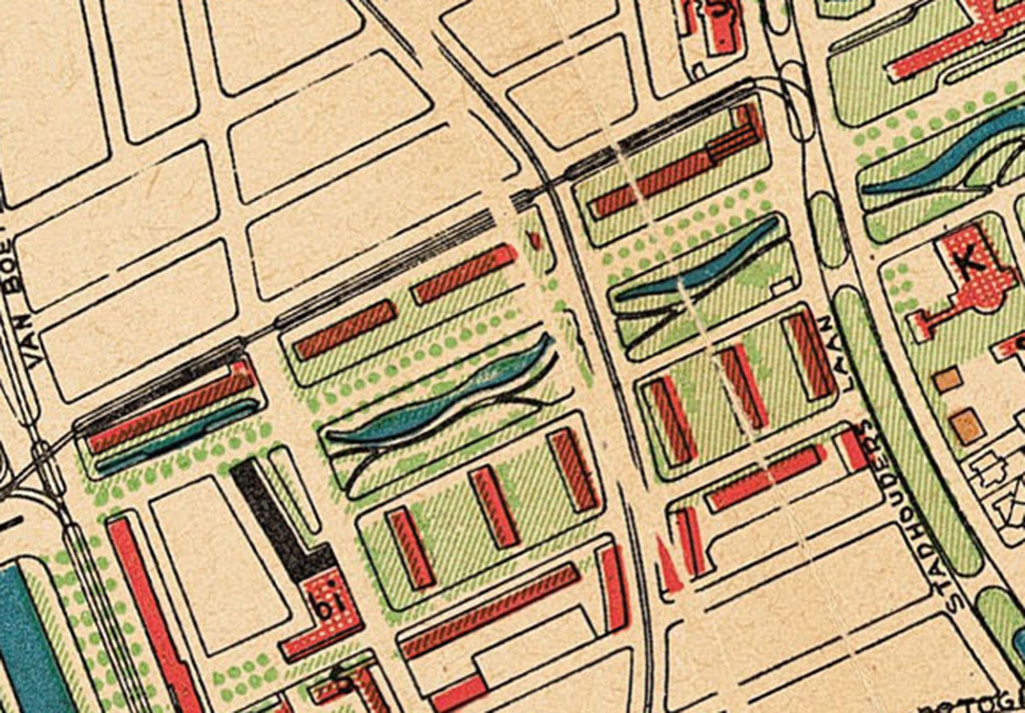
The Second World War produced changes in the street plan of this part of the city. Before the war, the present President Kennedylaan was part of Stadhoudersplein, a road that ran from the Houtrustbrug bridge to the Gemeentemuseum and had traffic lanes on either side of the Haagse Beek. The opposite side of what was then Stadhoudersplein is now called Cornelis de Wittlaan.
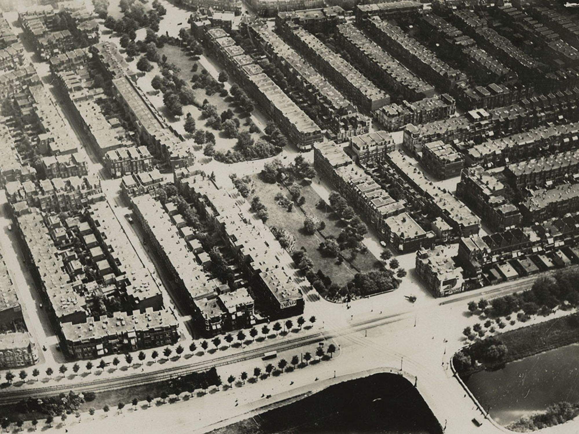
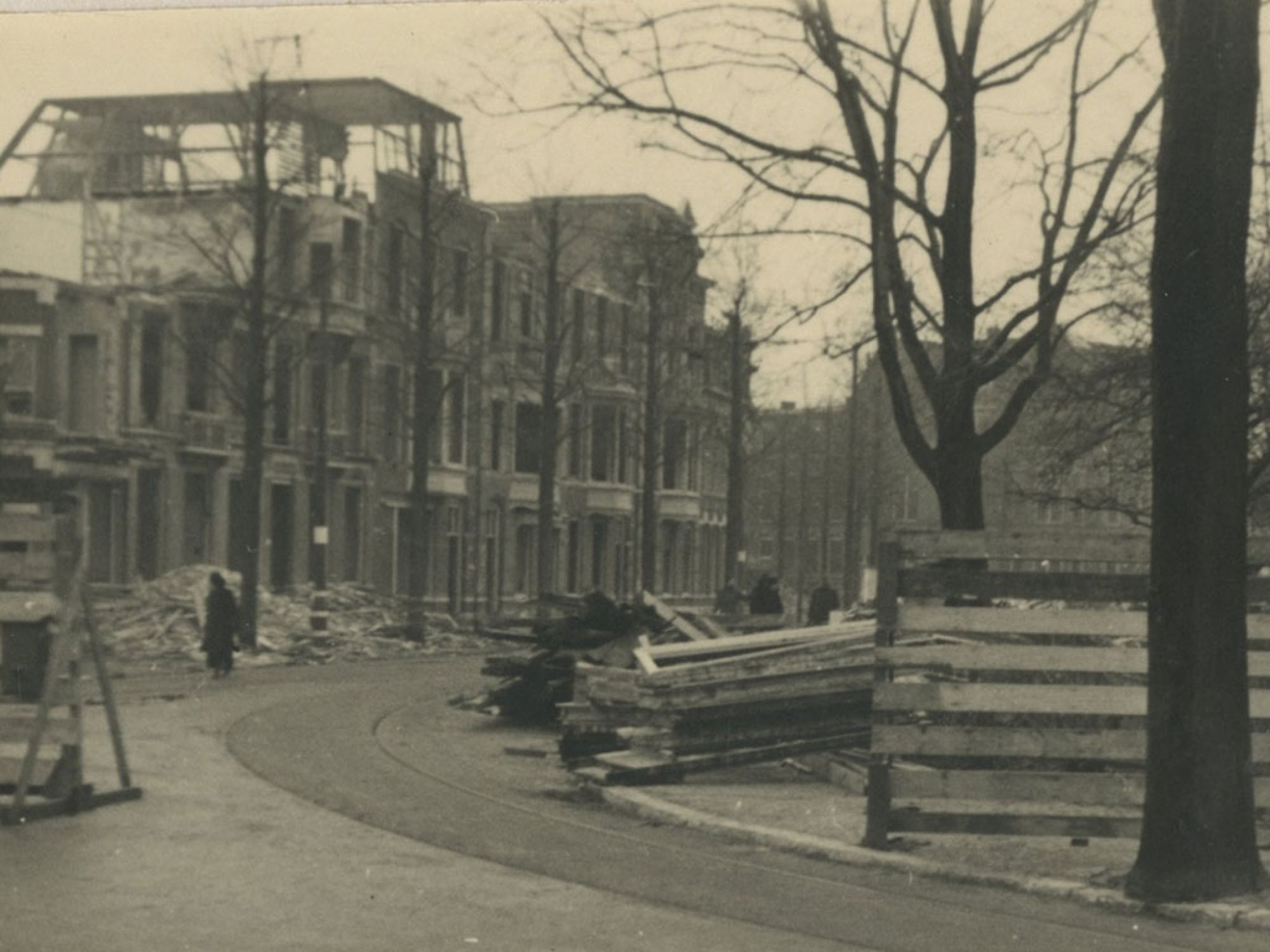
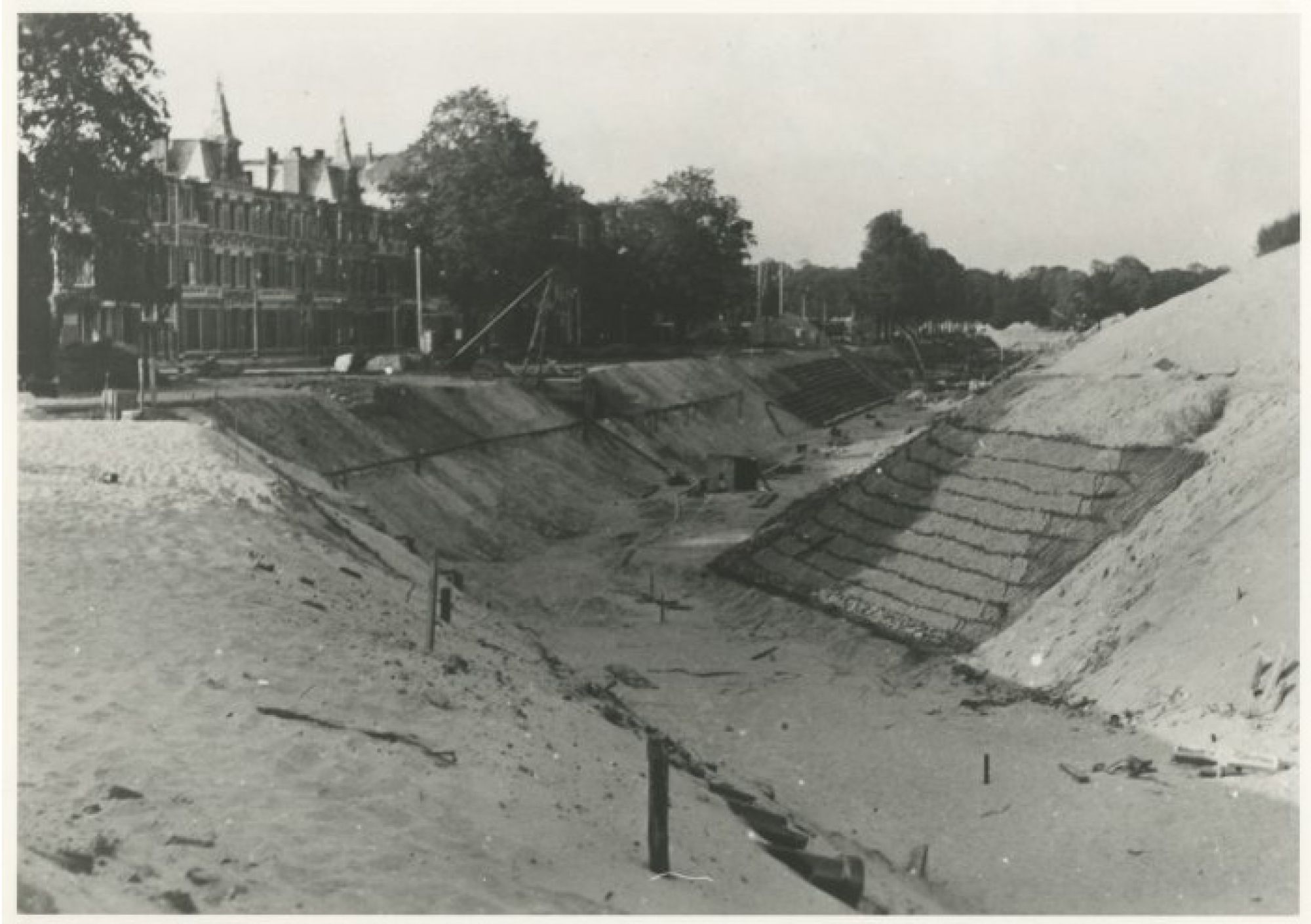
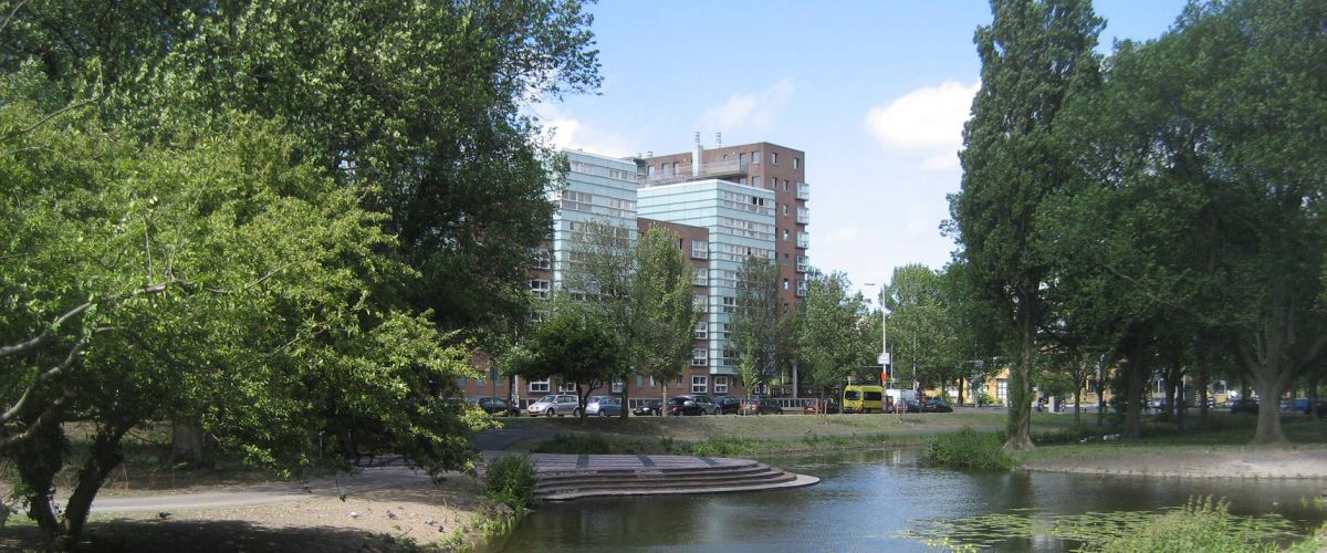
The Haagse Beek became part of an anti-tank ditch that ran from Kijkduin to just beyond the Gemeentemuseum. It was 27 metres wide and almost six kilometres long. The houses in today’s Cornelis de Wittlaan survived but the buildings on this side of Stadhoudersplein were demolished. In the streets behind that – Verhulststraat and Dunklerstraat – the houses also had to make way for the Atlantic Wall. The result was a broad stretch of desolate wasteland bisecting the city. In the post-war reconstruction of the city, this was completely redeveloped. The strip of greenery in the middle of Stadhoudersplein became a building site and was replaced by the new public gardens here: Stadhoudersplantsoen.
Photographed